Observation Road Relocation
About the Project
Observation Road at Piper Lane is impassable several times per year due to flooding from adjacent Broad Run. When flooded, landside access to the west side of the airfield is restricted, causing tenants and Air Traffic Control Tower (ATCT) staff to access the west side by driving through the airfield from an open gate. It can take upwards of 48 hours for the floodwaters to recede. The project includes relocating a portion of Observation Road so that it is above the 100-year floodplain (refer to Figure 1-1), which will significantly reduce flooding impacts and will allow for the future redevelopment of the site. The work will also prepare the West Corporate Development site located on the northwest corner of Manassas Regional Airport.
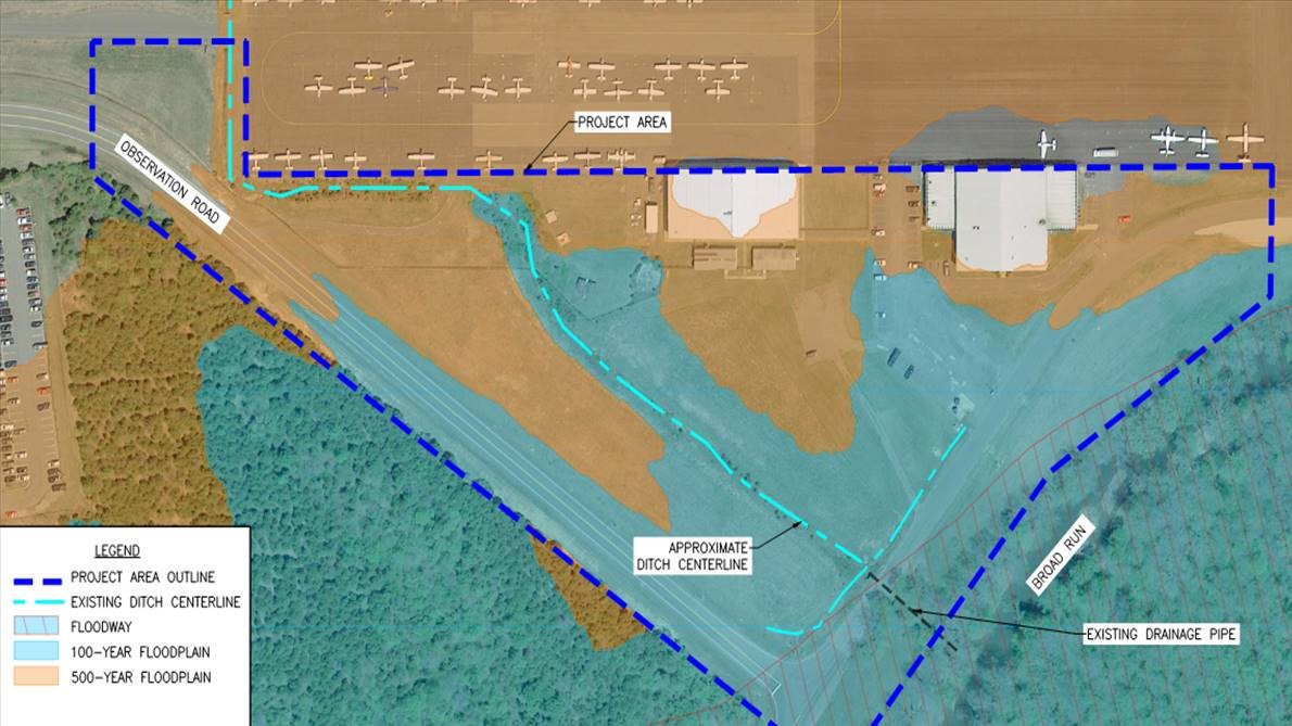
Figure 1-1: Existing Floodplain
The project will include the construction of a perimeter retaining wall to raise the relocated road and portions of the site that are prone to flooding. A new section of Airport-maintained Observation Road will be constructed from the existing portion of Observation Road that runs along the west perimeter of the airfield to a point adjacent to the existing Airport gate southwest of the Dulles Aviation hangar. In addition, a stormwater detention pond and a stormwater system will be completed with the anticipation of future redevelopment of the Dulles Aviation site. See Figure 1-2 for a depiction of the road relocation.

Figure 1-2: Proposed Observation Road Relocation
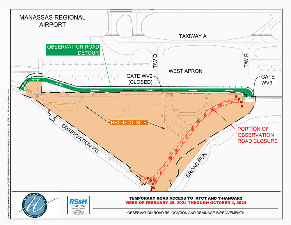
Temporary Road Access to ATCT and T-Hangars
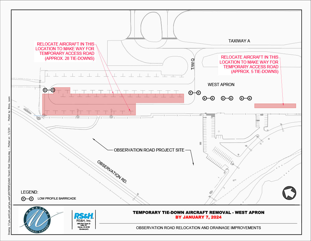
Temporary Tie-Down Aircraft Removal - West Apron
Project Progress
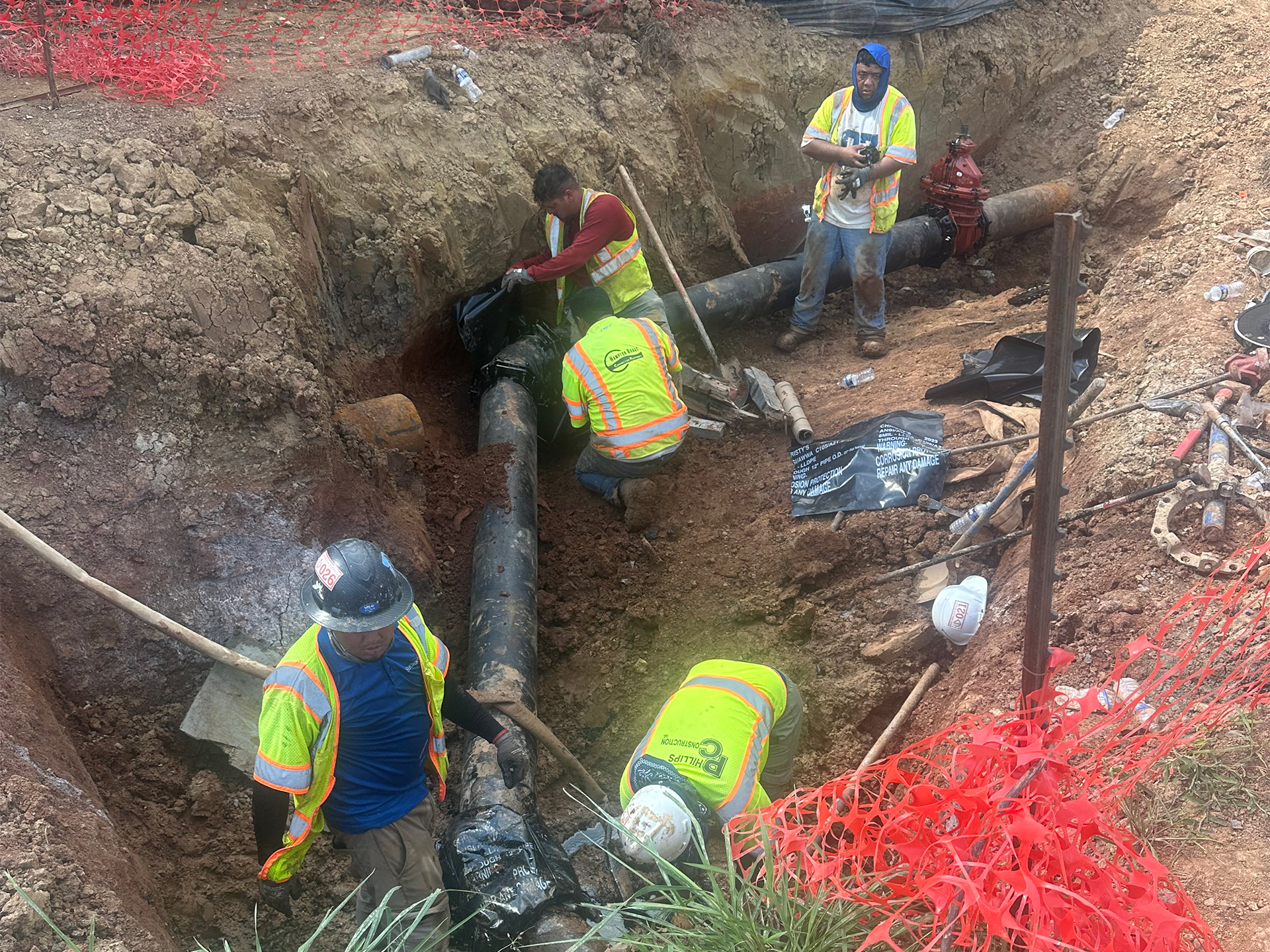
Tie in for new water line connection.
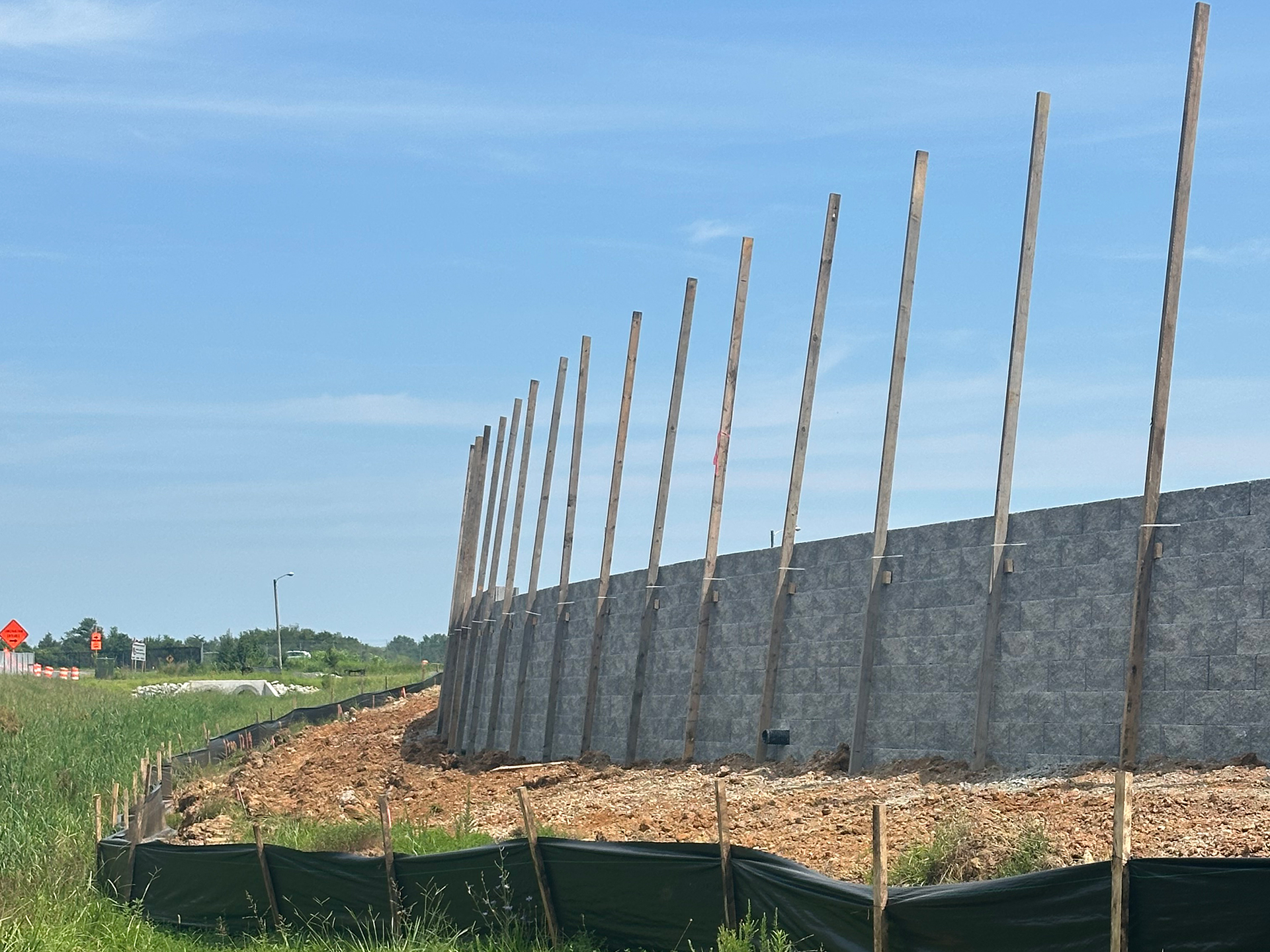
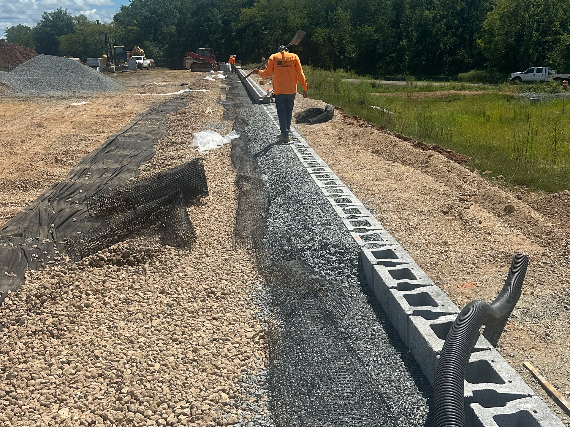
Completed portion of the retaining wall.
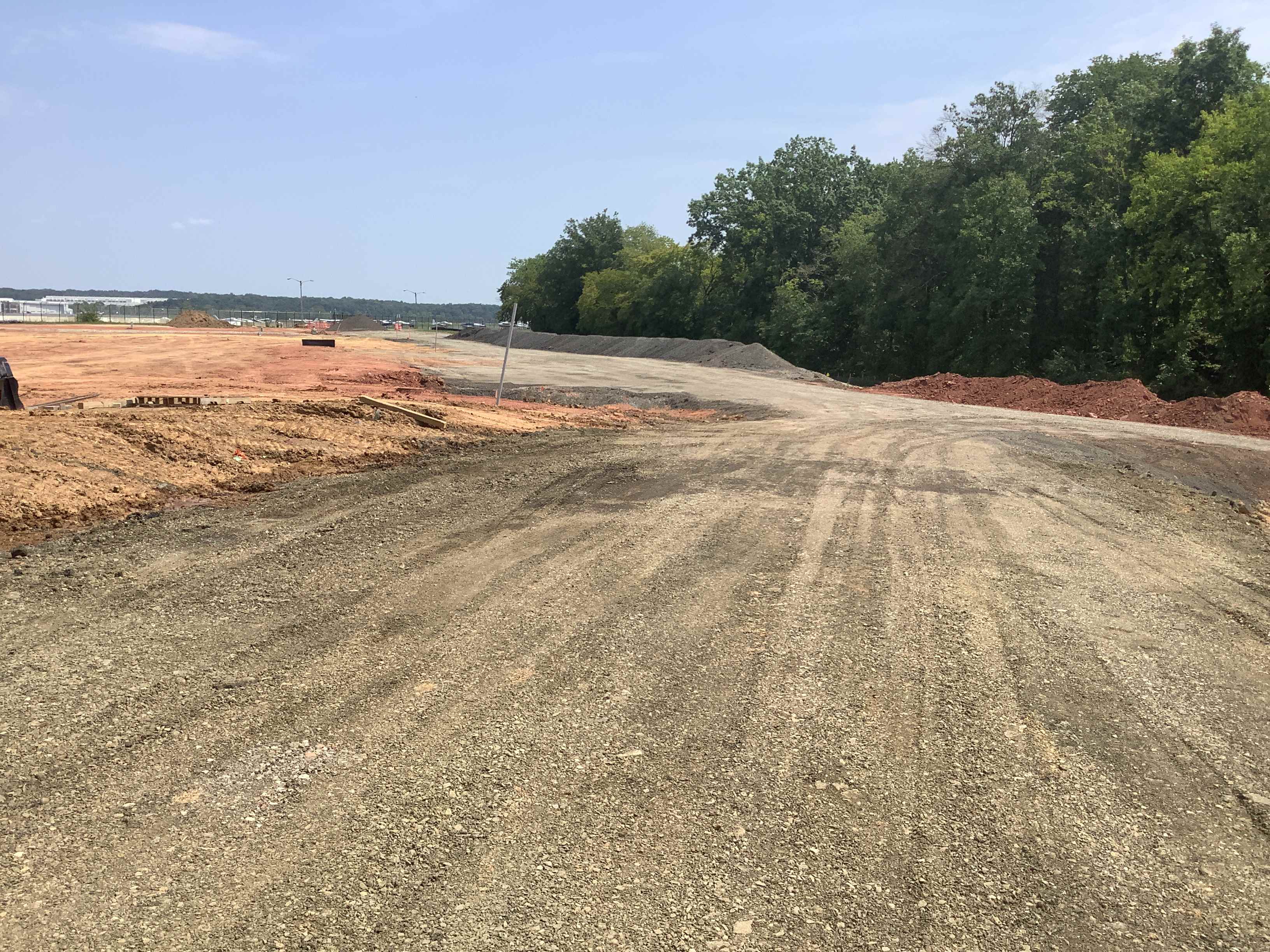
Temporary Pond and road installation are approximately 50% complete.
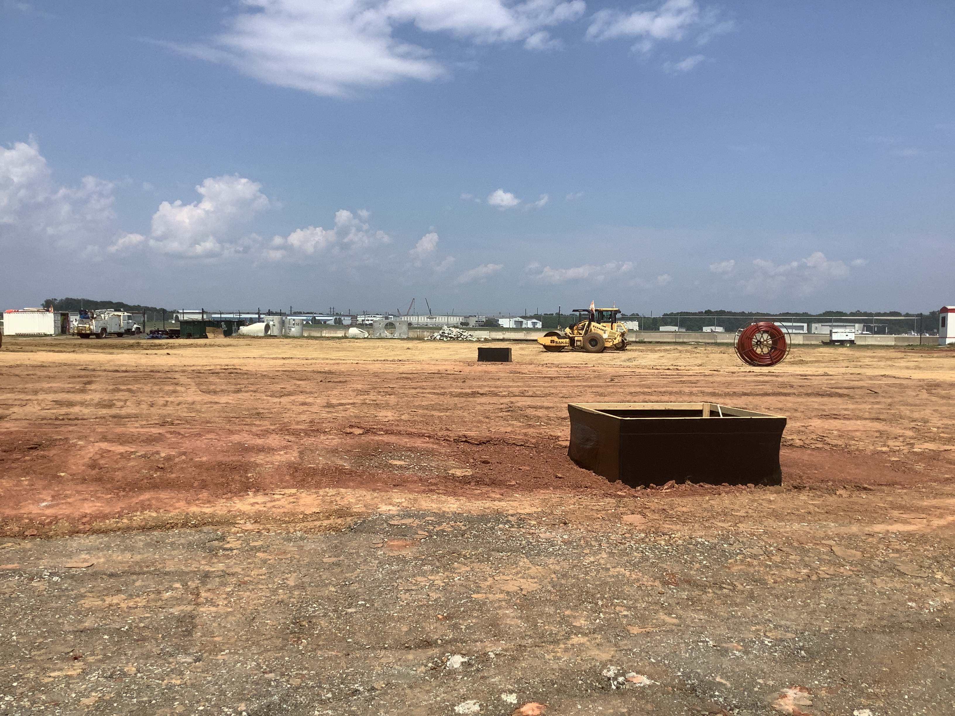
Storm drain, water, and sewer are approximately 90% complete.
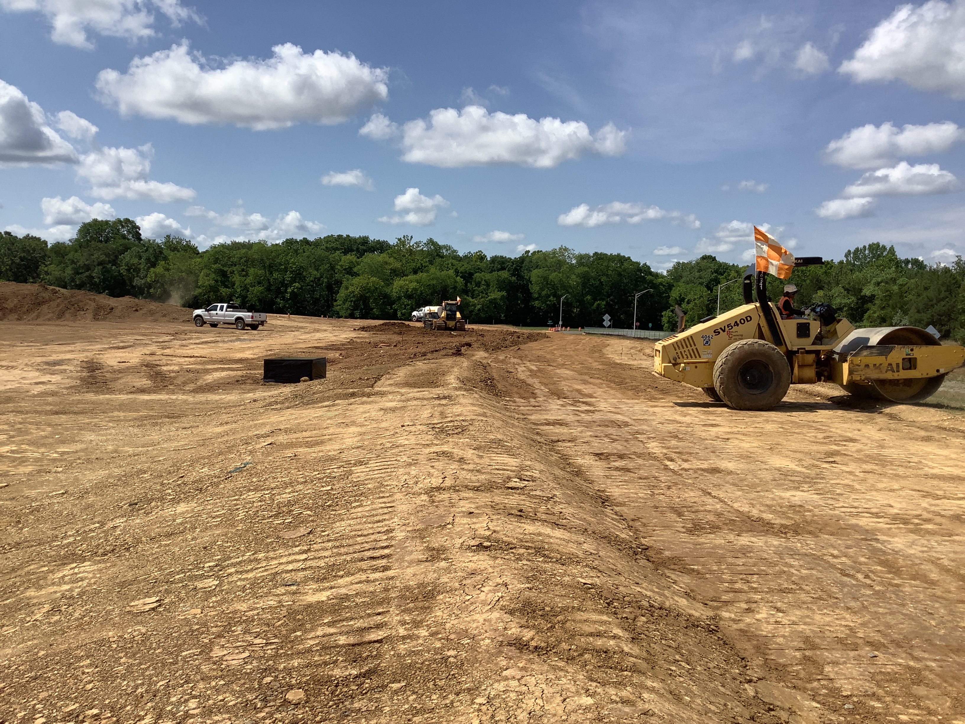
Demo of existing parking lot is 100% complete, and demo of existing buildings is 98% complete.
Project Schedule
Below is an estimated project schedule from preliminary design through the start of construction.
| Description | Date |
|---|---|
| Construction complete | September 30, 2025 (estimated) |
| Observation Road reopens | September 17, 2025 (estimated) |
| Retaining wall completed | August 27, 2025 (estimated) |
| Re-start work order issued to road contractor. Work remaining includes construction of modular block retaining wall, stormwater pond, water/sewer connections, and road paving. | May 12, 2025 |
| Utility relocation work is complete | April 18, 2025 |
| A stop work order has been issued for the project beginning August 30, 2024. Work will resume once utility relocation has taken place. | August 30, 2024 |
| Utility cut over dates with partial road closure | Week of July 29, 2024 |
| Observation Road detour begins | February 26, 2024 |
| Construction notice to proceed (NTP) | January 8, 2024 |
| Bid opening | July 14, 2023 |
| Bid advertisement | May 2023 |
| City site plan approval | April 2023 |
| Complete final design | October 2022 |
| Begin final design | December 2020 |
| CLOMR approval from FEMA | December 2020 |
| Conditional letter of map revision (CLOMR) submittal to Federal Emergency Management Agency (FEMA) | July 2020 |
| Preliminary (50%) design completed | June 2020 |
| Preliminary design kick-off | November 2019 |
